Locate & Detect
Find Infrastructure Others Miss.
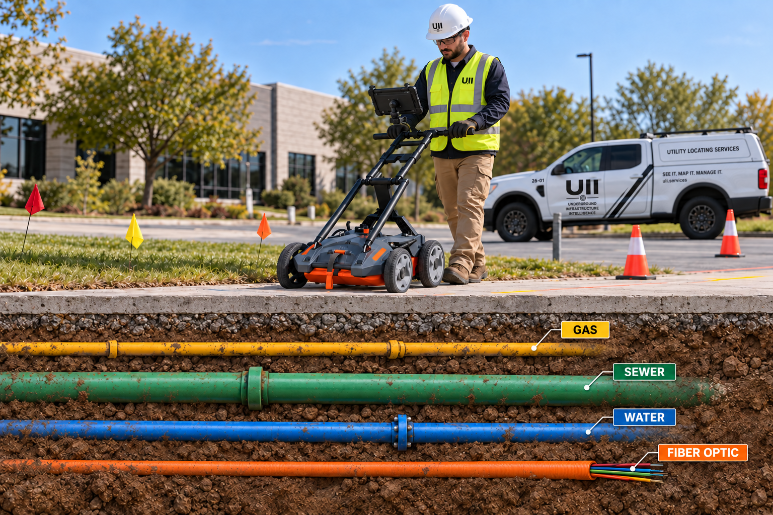
UII combines advanced locating, ground penetrating radar, concrete scanning, and field intelligence to identify infrastructure that traditional approaches can miss.
Multi-Technology Approach
No Single Tool Finds Everything.
Different utilities, soils, construction materials, and site conditions require different technologies. UII combines methods instead of forcing every problem through one tool.
- Electromagnetic Locating
- Ground Penetrating Radar
- Concrete Scanning
- GNSS / RTK
- Field Verification
Private Utility Locating
Locate private electric, communications, fiber, water, gas, sewer, storm, lighting, security, process infrastructure, and other site utilities beyond 811.
Ground Penetrating Radar
Detect nonconductive utilities, buried structures, tanks, voids, abandoned infrastructure, and subsurface anomalies.
Concrete Scanning
Identify rebar, conduit, post-tension cables, embedded utilities, structural features, and voids before cutting or coring.
Private. Public. Contract. Specialty.
UII's locating model extends beyond private project locating to support recurring utility-owner programs and specialty infrastructure problems.
Public & Contract Locating
One-call and recurring locating support for infrastructure owners, utilities, municipalities, campuses, and network operators.
Contract locating →Cable Fault Locating
Target the likely location of underground cable failures before excavation and repair.
Specialty locating →Marker, Tracer & Detection Systems
Locate electronic markers, tracer wire, and detectable utility identification systems.
Marker locating →Information Your Team Can Actually Use.
UII is designed to deliver more than paint. Depending on scope, projects can include field markings, utility routes, depth estimates, GPS/RTK data, photographs, sketches, and digital documentation.
What You Get
- Utility locations and routing
- Utility-type identification
- Depth estimates where technically appropriate
- GPS / RTK capture
- Photos and site documentation
- Clear project reporting
- Greater confidence to excavate