Underground Infrastructure Intelligence
Right Technology. Right Answer.
No single technology solves every underground challenge.
UII combines complementary detection, verification, positioning, imaging, and mapping technologies to deliver more complete project intelligence.
Electromagnetic Locating
Conductive utilities and tracer wires.
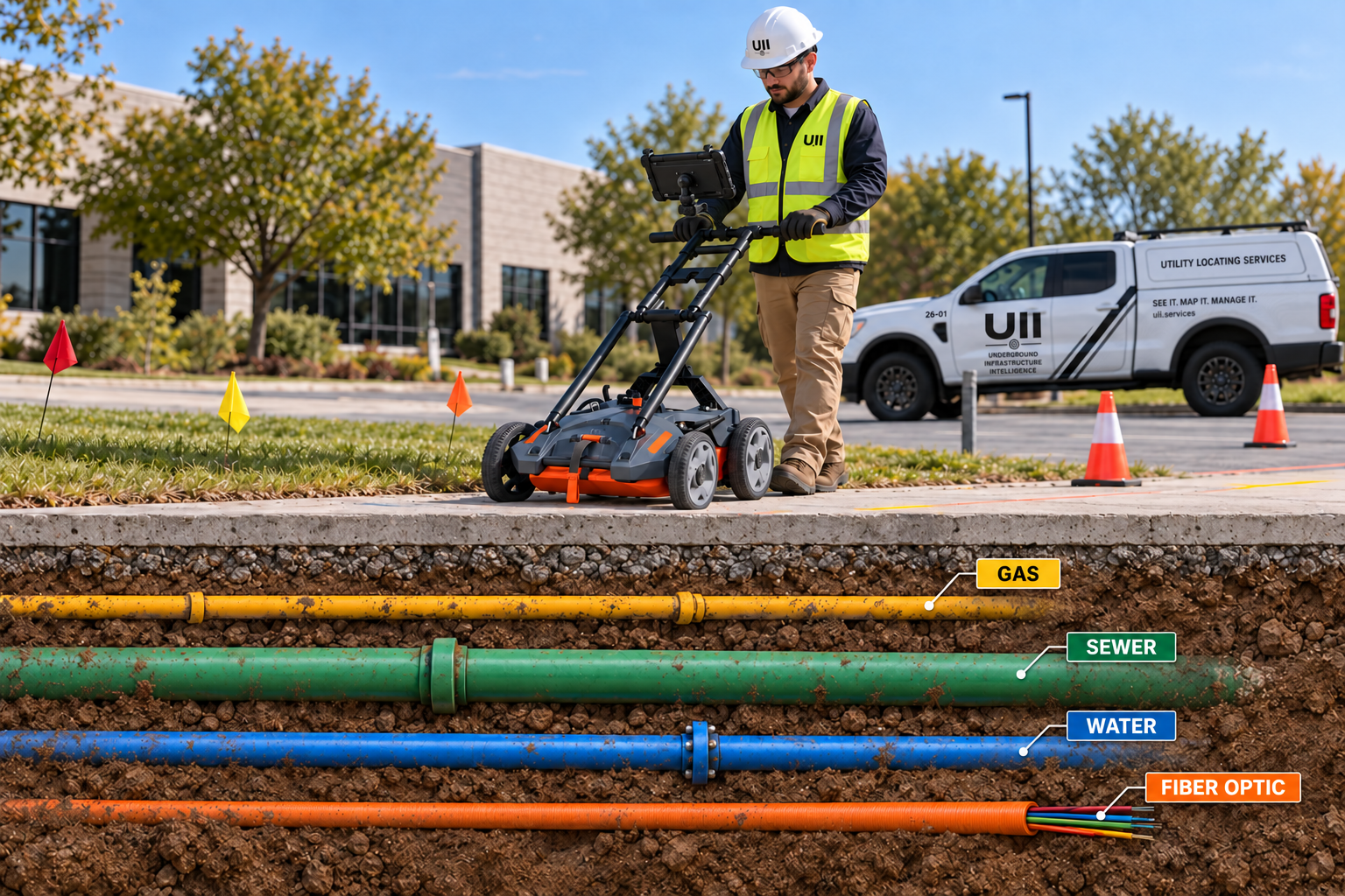
Ground Penetrating Radar
Nonconductive utilities and subsurface anomalies.
GNSS / RTK
High-accuracy geospatial position capture.
Vacuum Excavation
Physical verification without destructive digging.
Robotic Cameras
Internal condition and route inspection.
Drone Technology
Rapid aerial site and corridor data.
LiDAR
Detailed three-dimensional reality capture.
GIS & CAD
Transform field findings into usable digital records.
Cable Fault Equipment
Specialized fault-finding methods for targeted underground cable troubleshooting.
Electronic Marker Systems
Detect buried marker balls, EMS markers, tracer systems, and detectable identification features.