Map & Document
Turn Field Information Into Infrastructure Intelligence.
UII converts temporary field information into durable geospatial, engineering, and facility records your team can use long after the paint disappears.
Capture It Once. Use It Again.
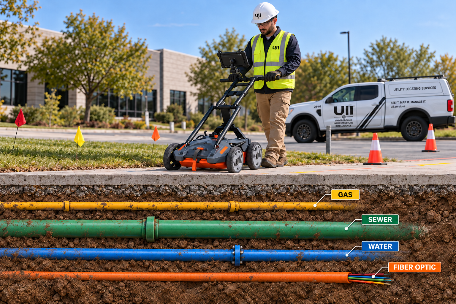
Create a better record of what is actually in the ground and where it is located. UII can support engineering, construction, facility management, and future excavation with usable digital infrastructure data.
Geospatial Utility Mapping
Capture field-located utilities and assets using high-accuracy GNSS/RTK positioning.
As-Built Documentation
Document routes, depths, valves, structures, handholes, cleanouts, connections, and newly installed infrastructure.
GIS & CAD Deliverables
Deliver PDF maps, DWG/DXF, GIS, KML/KMZ, CSV, GeoJSON, imagery, and coordinate datasets.
Drone Mapping
Capture large sites, corridors, progress, orthomosaics, and aerial documentation efficiently.
LiDAR & Reality Capture
Create detailed 3D records of existing above-ground conditions and site context.
Digital Twins
Combine buildings, site assets, surface features, and underground infrastructure in a common digital environment.