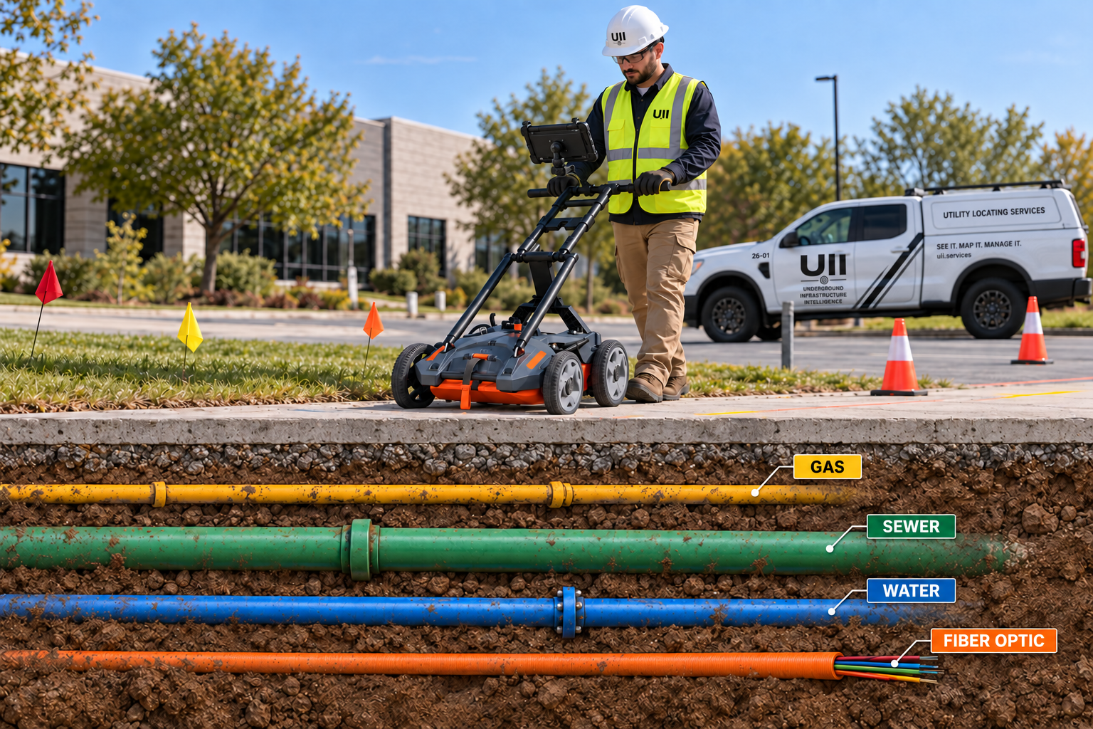
SEE WHAT
OTHERS CAN'T.
Advanced underground infrastructure intelligence for safer construction, better planning, and fewer surprises.
UII combines private and contract utility locating, GPR, specialty locating, verification, damage prevention, geospatial mapping, and digital documentation to locate, verify, map, and protect underground infrastructure.
Underground Uncertainty Costs Money.
The infrastructure that creates the biggest problem is often the infrastructure nobody knew was there.
Utility Strikes
Safety risks, outages, repairs, and liability.
Project Delays
Unexpected conditions can stop construction.
Bad Records
Old drawings often fail to reflect actual conditions.
Unknown Infrastructure
Abandoned, private, or undocumented assets.
Design Conflicts
Incomplete information creates expensive changes.
Unverified Depths
Paint alone doesn't tell the full story.
From Field Marks to Usable Intelligence.
Locate
Detect
Verify
Map
Document
Complete Solutions. Real Results.
Locate & Detect
Find infrastructure others miss with advanced locating, GPR, and concrete scanning.
Explore solution →Verify & Investigate
Confirm critical infrastructure and solve unknowns with targeted field verification.
Explore solution →Map & Document
Transform field data into accurate maps, as-builts, GIS/CAD, and digital infrastructure records.
Explore solution →Plan & Protect
Get better information before you build so your team can reduce risk and make better decisions.
Explore solution →Five Business Lines. One Underground Intelligence Partner.
UII is built to support individual projects, recurring locating programs, and complex infrastructure environments.
Utility Locating
Find and mark underground infrastructure.
- Private utility locating
- Public / contract locating
- 811 / one-call support
- GPR & concrete scanning
Verification & Investigation
Resolve critical unknowns.
- Utility verification
- Vacuum excavation
- Camera inspection
- Leak detection
Specialty Locating
Handle problems beyond routine locating.
- Cable fault locating
- Electronic markers
- Tracer wire
- Detection tape
Mapping & Documentation
Create durable infrastructure records.
- GNSS / RTK
- GIS / CAD
- As-builts
- LiDAR & digital twins
Damage Prevention
Manage excavation risk over time.
- Project locating
- Re-locates
- Ticket programs
- QA/QC & documentation